The Department of Geography operates three Automatic Weather Stations (AWSs) that were handed over by the Ma Oya research project: worth about Rs. 3 million in 2017 and was funded by University Research Grant [URG/2016/81/A]. The AWSs and ground water monitoring systems were installed in the project to monitor the meteorological and hydrological conditions in the Ma Oya catchment in order to transform it to an experimental catchment for natural sciences.
The Ma Oya is a tributary of the Mahaweli River originates in the Hantane Mountain Range and runs across a large extent of the University of Peradeniya before joining the main river. The Ma Oya catchment is about 5.4 km 2 in size and spans through Udaperadeniya, Bowalawaththa, Palleperadeniya, and Augastawatta Grama Niladari Divisions. This catchment includes land cover classes such as forest (36%), shrub (24%), plantation (23%), and home gardens (16%) and spans a range of elevations between 0.47 to 1.20 km above sea level.
The Ma Oya catchment contains 17 micro-catchments and diverse topographical settings, so AWSs have been set up at three elevations to capture the different microclimatic conditions in the catchment: 1. grassed area near Department of Geography (0.48 km), (2) Mawala Farm of the Department of Animal Sciences (0.59 km), and (3) near the Upper Hantane Guest House (0.81 km).
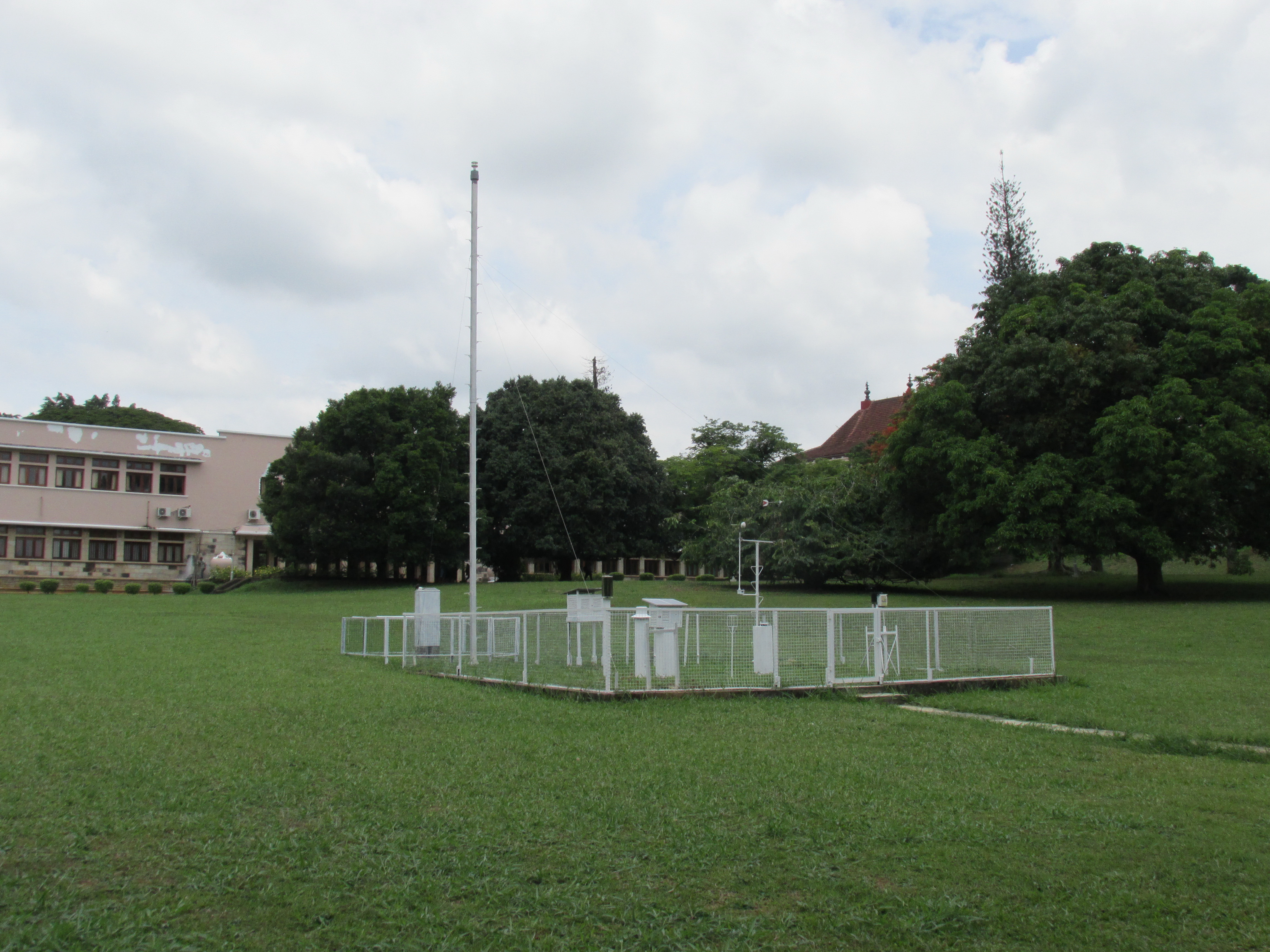
Weather Station near the Geography Department
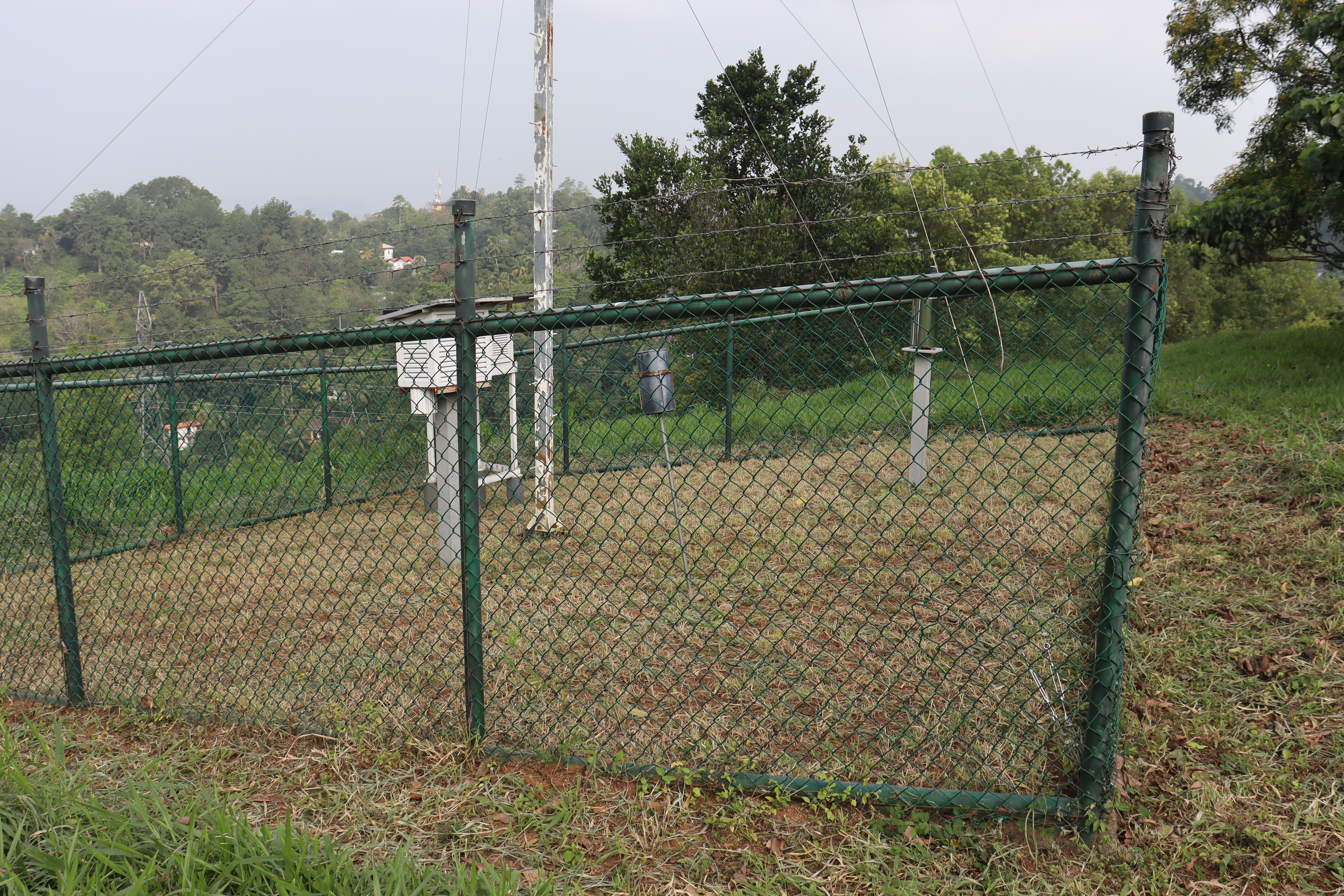
Weather Station at Mawala Farm
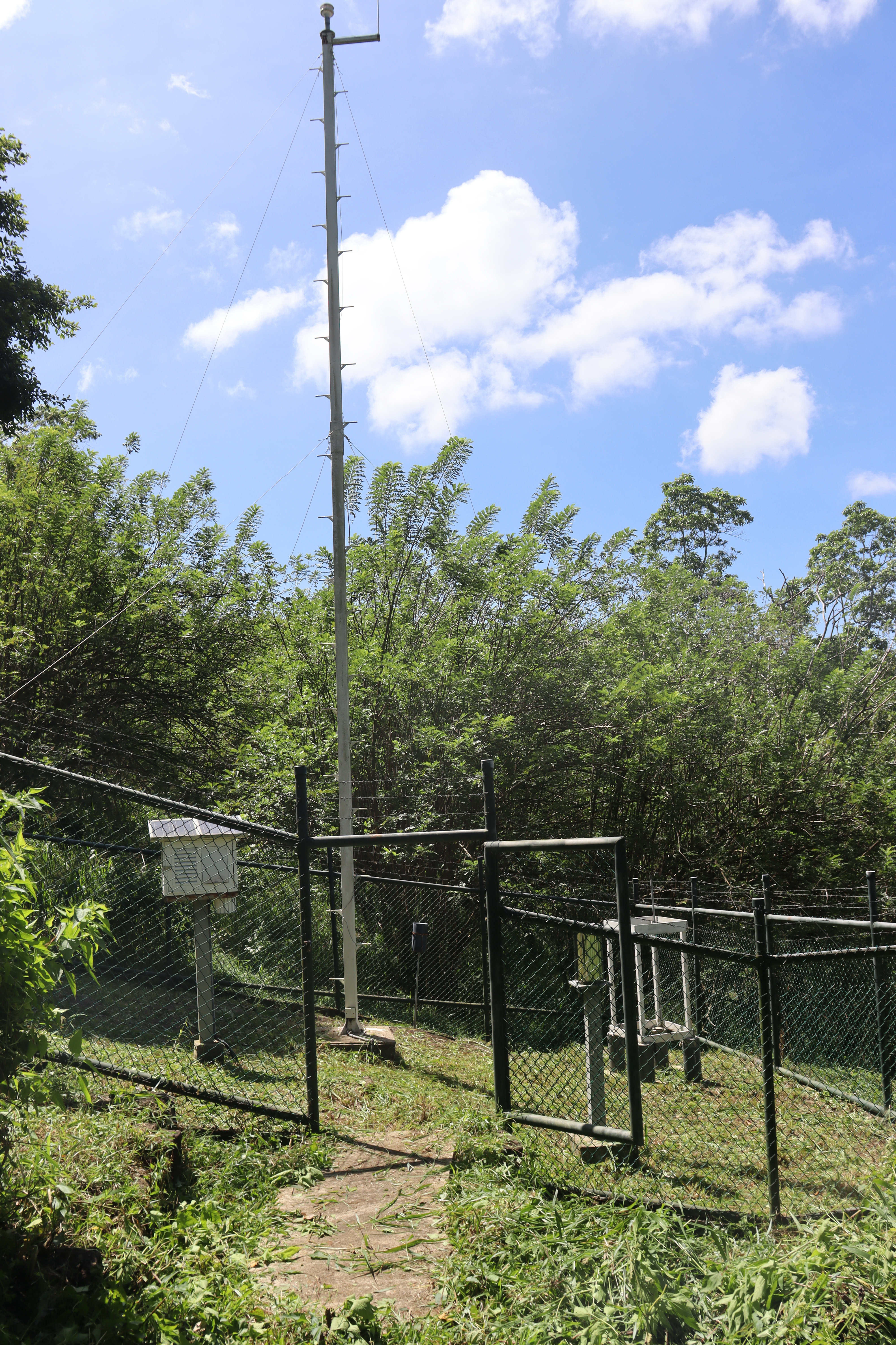
Weather Station at Upper Hantana